Flying Tour of White
Rock and Los Alamos, NM
Jeff
Scott
March
28, 2009
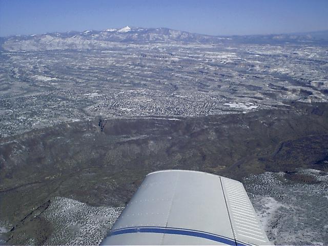
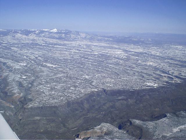
This is the town of White Rock sitting on the rim several hundred feet
above the Rio Grande river. The view
is from the East looking Northwest. White Rock is an
unincorporated bedroom community (and my home)
that is a part of Los Alamos which is located a few miles
farther up the mountain.
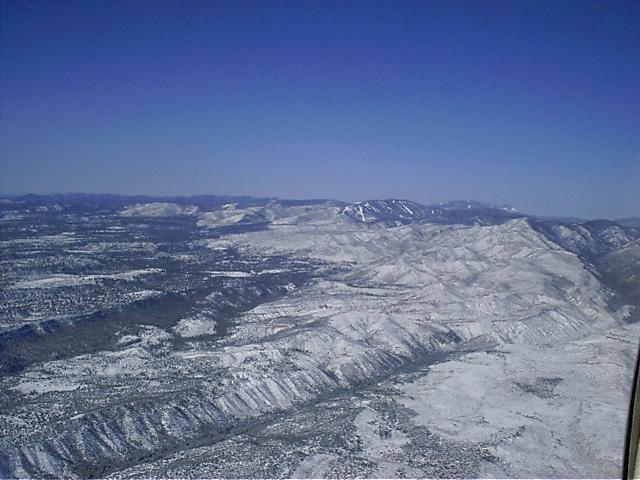
This photo shows the town of Los Alamos on the left looking from the
north. The snow accentuates the burn
path of the Cerro Grande fire of 2000 which burned through the western
edge of Los Alamos taking about
400 homes that were in the path of the fire. Ironically, the
Cerro Grande Fire was set by the National Park
Service at Bandelier National Monument as a controlled burn, which
apparently got just a little out of control.
Notice the ski area located in the center of the photo above town.
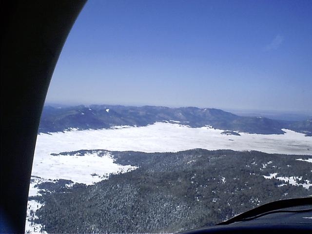
Just after crossing the mountain ridge at the ski area headed west,
this is a photo looking south across the
Valles Cauldera, which is really the floor of the crater of the ancient
volcano that Los Alamos is built on.
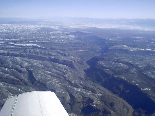
This photo is taken from about 12, 500 feet 5 miles south of White Rock
looking north along the Rio Grande.
The big canyon cutting across from the left side of the photo is part
of Bandelier National Monument, which
is an area that was home to the Anasazi Indians where they cut their
homes into the soft tuff (pronounced like
toof) volcanic rock and took advantage of the solar gain of the south
facing cliffs to help them to survive the
winters.
Flying north along the Rio Grande, I've made my way back to White Rock
again. The Rio Grande is at
roughly 5400 feet above sea level here, with White Rock at 6300 feet
and Los Alamos above 7000 feet.
The peaks above Los Alamos are at roughly 10,000 feet and are actually
the top of the crater rim. The
crater, also known as Valles Caudera, or Valles Grande is on the back
side of these peaks.
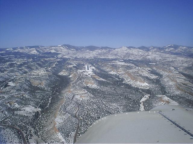
Headed west again, I'm lined up for landing at the Los Alamos airport.
Ahead of me you can see the main
road to Los Alamos as it winds it's way up the mountain. The
road that forks off to the left goes to White
Rock. Farther west behind the city you can see the white area
that is the burn path of the Cerro Grande fire,
then above that is the Los Alamos Ski Area, also known as Pajarito
Mountain. All of the area to the left of
the runway is Los Alamos National Laboratory, which covers some 42
square miles on the side of this
mountain and also keeps me gainfully employed. This is where
the atomic bombs that ended WWII were
designed and built. While Los Alamos still does a great deal
of weapons research, we are also very heavily
involved in many other areas of energy research and support of national
security.

